
Auction 88 · Lot 135
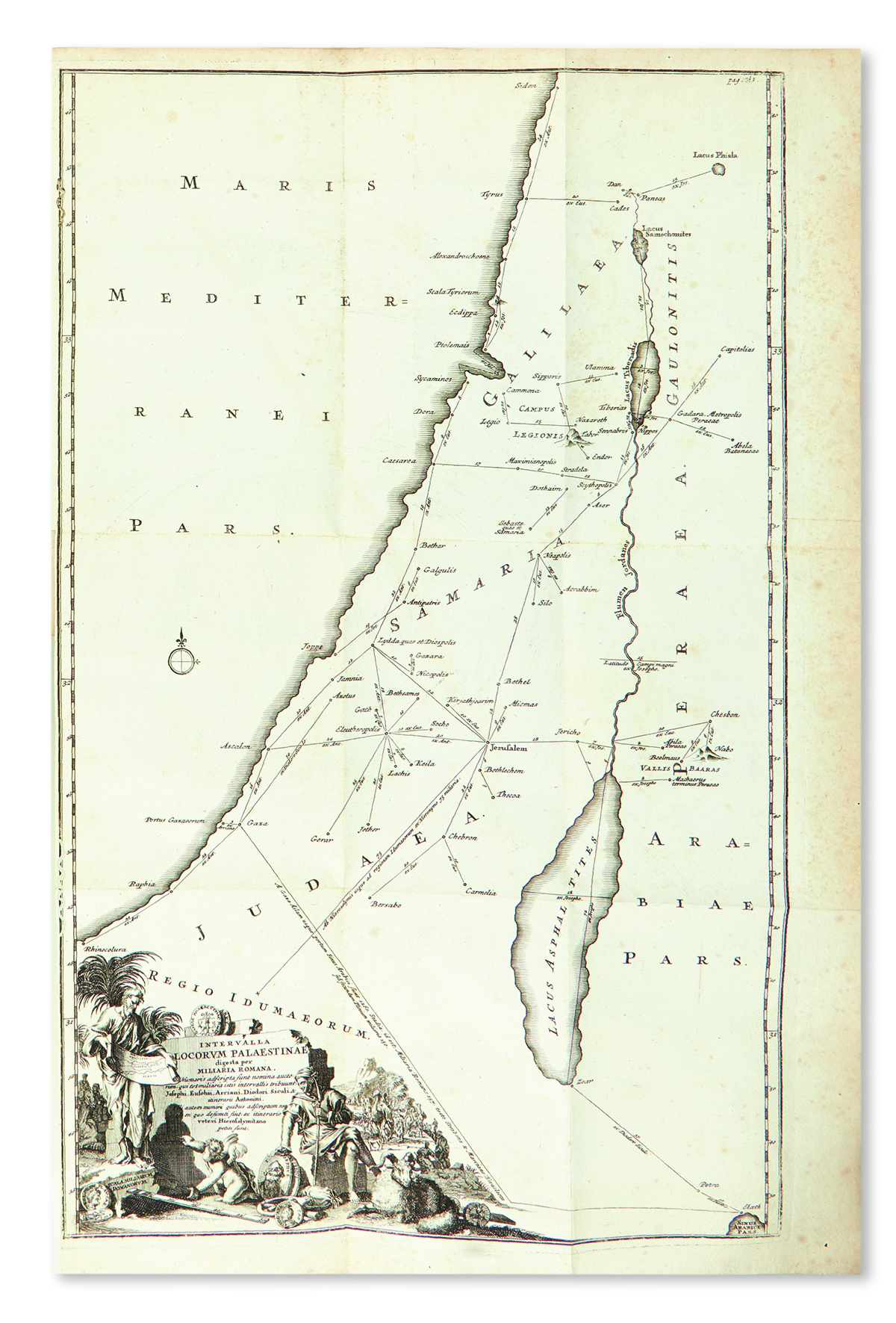
Hadrian Reland. Palaestina ex Monumentis Veteribus Illustrata.
- Estimate
- $1,200–$1,800
- Hammer price
- $1,000
Historical auction record. Hammer prices exclude buyer’s premium and taxes.
author
(ISRAEL, LAND OF).
printer
Peter Conrad Monath
Place
Nürnberg
Publication
1716
Description
Title printed in red and black with engraved device, and additional engraved allegorical title. Complete with 8 engraved foldouts, including several maps, a genealogical tree of Herod; 6 plates (maps) and several numismatic text illustrations.
summary
A fine, wide-margined, uncut copy. Maps issued on thick paper.
The Dutch Orientalist Hadrian Reland (1676-1718) was the first scholar to break away from the traditional cartographic view of the Holy Land that was based upon the Bible, thus producing here the first geographically accurate maps of the Land of Israel and surrounding region.
pp. (16), 787, (83). An uncut copy. Lightly browned, some worming. Recent calf-backed boards, spine rubbed. Thick 4to.
Enquire about this lot