
Auction 80 · Lot 167
Be’er Haluchoth.
- Estimate
- $4,000–$6,000
- Hammer price
- $3,000
Historical auction record. Hammer prices exclude buyer’s premium and taxes.
author
AUSPITZ, JACOB
Place
Ofen, Royal Hungarian University Press, 1817
Description
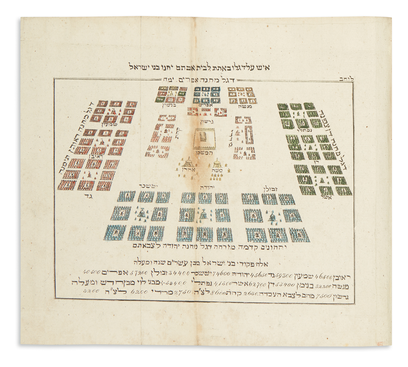
Three Hand-Colored Folding Maps Captioned in Hebrew. Letterpress folding chart. FIRST EDITION.
references
Vinograd, Ofen 2; Laor, Maps of the Holy Land nos. 879, 882 and 883.
summary
The first Hebrew Atlas. The maps represent: The dispersion of the sons of Noah and spread of mankind across Asia, Africa and Europe; the encampment of the Hebrew tribes in the desert surrounding the Tabernacle; and a schematic map of the Land of Israel showing the Tribal division of the country between the Jordan and Mediterranean.
This first edition proved immediately popular, so that a second edition appeared in Vienna only a year later. See E. & G. Wajntraub, Hebrew Maps of the Holy Land (1992) pp. 129-37 and JE, Vol. II p. 317.
pp. 12 (erroneous pagination). Lacking two additional maps. Stained, small tear to letterpress chart. Contemporary calf-backed marbled boards, worn. 8vo.
Enquire about this lot