
Auction 83 · Lot 164
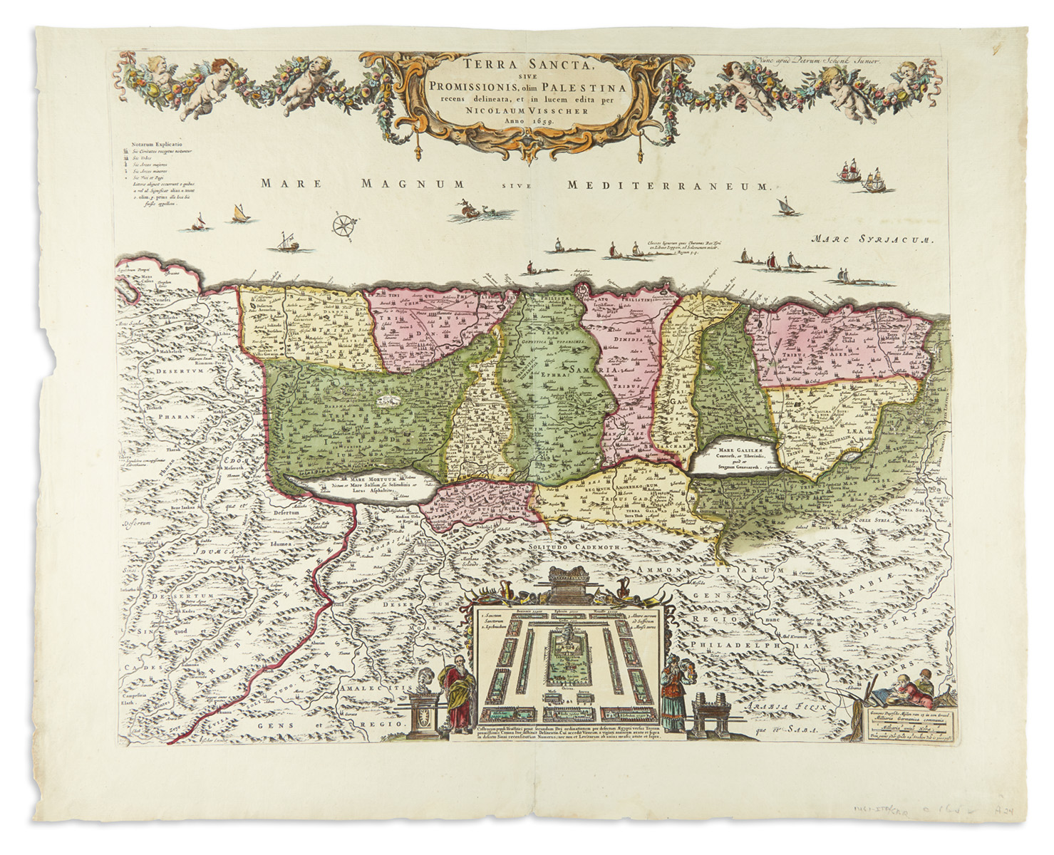
“Terra Sancta, sive Promissionis, olim Palestina.” Text in Latin, Dutch and Flemish.
- Estimate
- $600–$900
- Hammer price
- Not recorded
Historical auction record. Hammer prices exclude buyer’s premium and taxes.
author
VISSCHER, NICOLAUM.
Place
Amsterdam, 1659
Description
Double-page hand-colored copperplate map.
references
Laor 793.
summary
From Visscher’s Atlases Contractus Orbis Terrarum published by P. Schneck. In the lower right corner, the fisherman emblem of the Visscher family is here replaced by an image of children fishing. The shore-line runs from Sidon to Egypt. The Kishon River connects Haifa Bay to the Lake of Tiberias. Along the top, a garland is supported by six cherubs. At center of the map is a plan of the camp of the Israelites with the twelve tribes flanked by Moses and Aaron. This map is the prototype for many 17th-century Holy Land maps by De Wit, Danckerts and others.
20.7 x 26 inches (52.7 x 66 cm).
Enquire about this lot