
Auction 83 · Lot 163
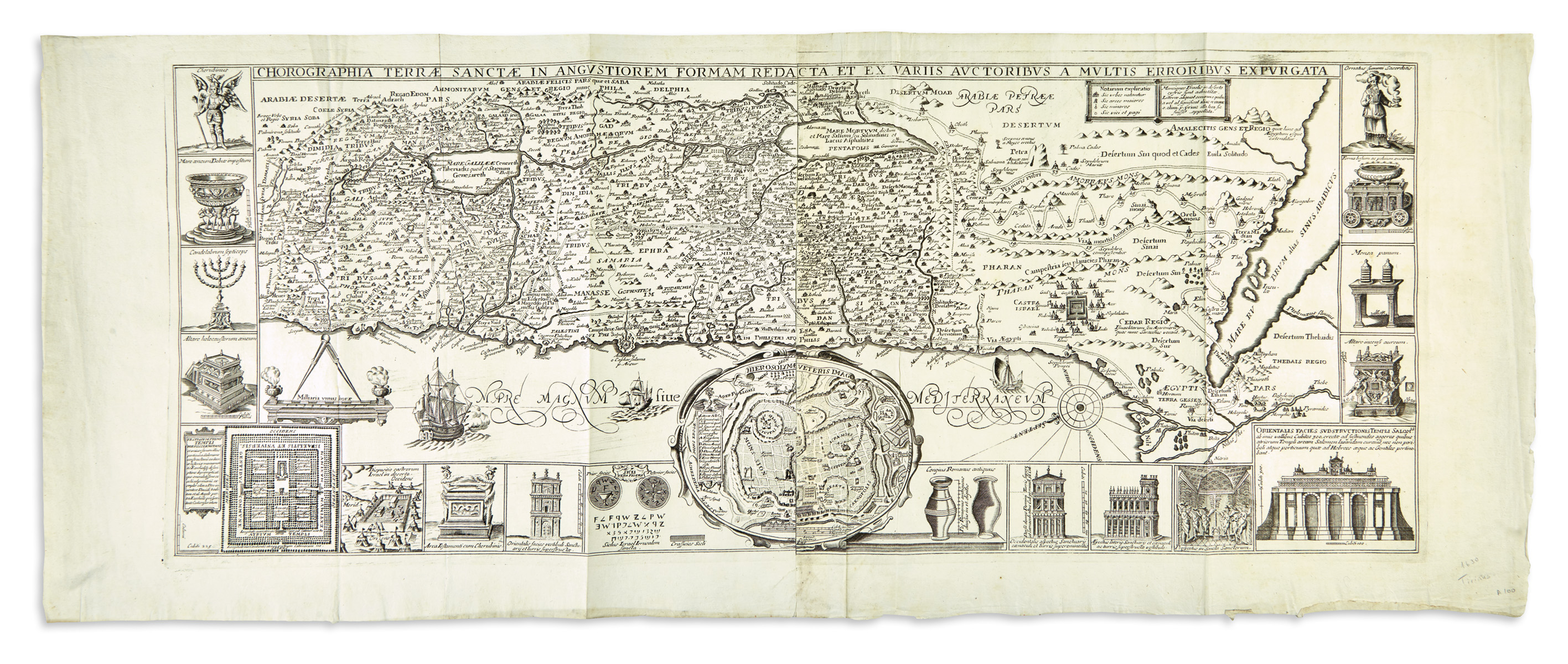
“Chorographia Terrae Sanctae.”
- Estimate
- $500–$700
- Hammer price
- Not recorded
Historical auction record. Hammer prices exclude buyer’s premium and taxes.
author
TIRINUS, JACOBUS.
Place
Antwerp(?), first edition 1632, (or later)
Description
Copperplate map, two sheets conjoined.
references
Laor 771.
summary
Based on the 1632 map by the Jesuit theologian, historian and Bible scholar Jacobus Tirinus (1580-1636) from his study on the Holy Land: Commentarius Vestus et Novum Testamentum Tomis Tribus Comprehensus.
The map ranges from Syria and Tyre southward as far as the Sinai, Egypt and Thebes. Surrounding the map proper on the left, right, and lower margins, there are as many as 19 inset maps and vignettes. The largest and most central of these is a stunning city plan of Jerusalem - after Villalpando’s ‘Hierosolymae Veteris Imago’ - which notes the various important buildings located there.
14.7 x 23.5 inches (37.5 x 60 cm).
Enquire about this lot