
Auction 83 · Lot 101
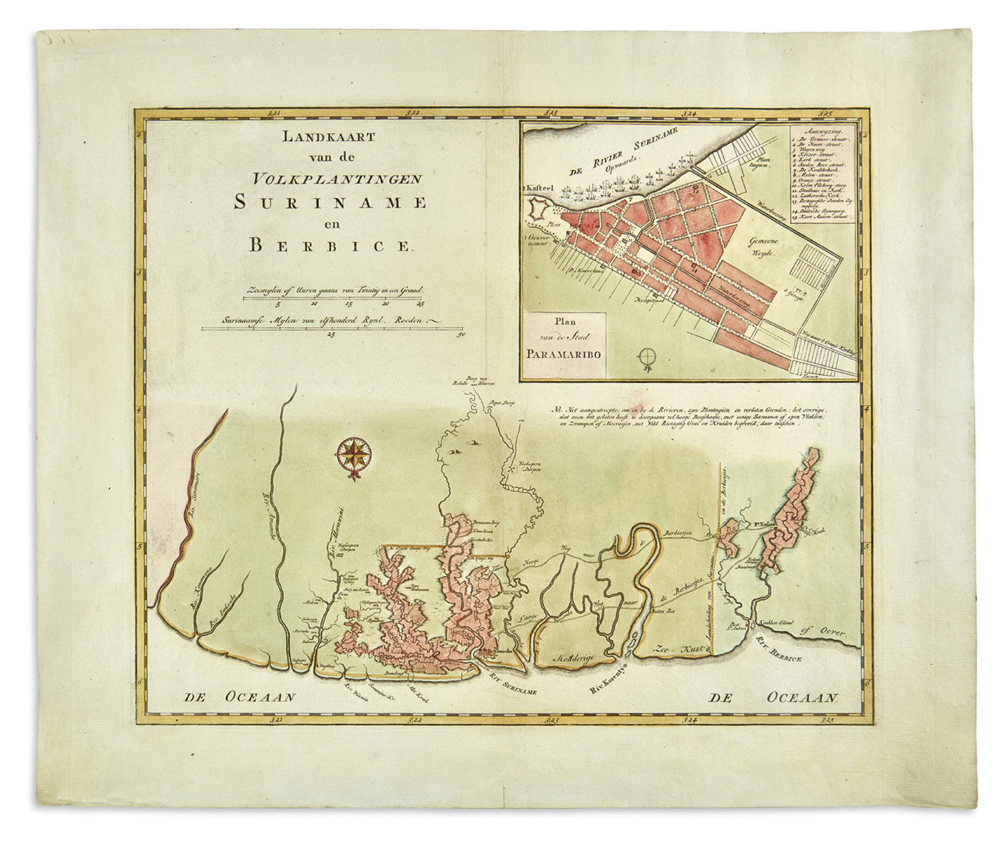
Landkaart van de Volkplantingen Suriname en Berbice.
- Estimate
- $2,000–$3,000
- Hammer price
- $2,000
Historical auction record. Hammer prices exclude buyer’s premium and taxes.
author
(SURINAM).
printer
Isaak Tirion c.
Place
(Amsterdam
Publication
1760)
Description
Hand-colored map.
summary
Attractive and detailed map of the Dutch colonies and plantations along the northern coastline of South America from the Sinnamary (Sinamari) River in present-day French Guiana, to the Berbice River and Fort Nassau, located in present-day Guyana.
The map contains a large inset of Paramaribo, the capital of Dutch Suriname, showing town plan, fortifications and approximately twenty ships. Of the fifteen locations around the city that are identified numerically, most intriguing is the 'Portugeesche Jooden Synagoog' (Tzedek ve-Shalom, est. 1736) and the 'Duitsche Synagoog' (Neveh Shalom, est. 1719).
Suriname became a most important Jewish population center in the Western Hemisphere and benefitted from special dispensations from both British and from Dutch colonial governments. In the 17th- and 18th-centuries a thriving Jewish community developed there, maintaining close cultural and religious ties to the motherland of the Netherlands. Jews owned vast sugar plantations, and possessed a full-fledged religious infrastructure.
16.5 x 20 inches (42 x 50 cm).
Enquire about this lot