
Auction 28 · Lot 156
RELAND, HADRIAN. Palaestina ex Monumentis Veteribus Illustrata
- Estimate
- $1,000–$1,500
- Hammer price
- $1,000
Historical auction record. Hammer prices exclude buyer’s premium and taxes.
author
(ISRAEL, LAND OF)
printer
William Broedelet
Place
Utrecht
Publication
1714
Description
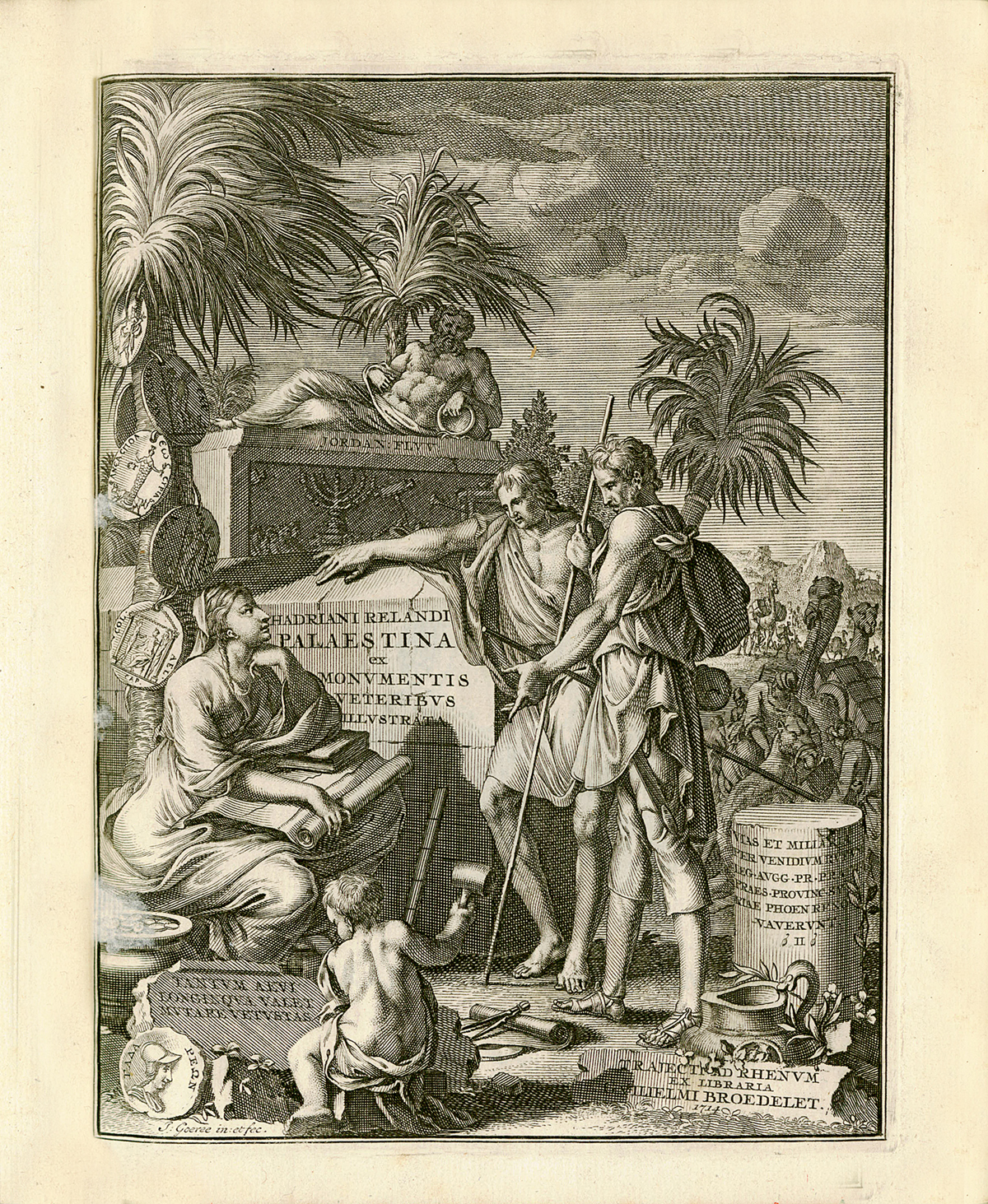
FIRST EDITION. Two volumes bound in one. Latin interspersed with Greek, Hebrew and Arabic. Titles printed in red and black with engraved devices, additional engraved allegorical title, engraved folding portrait, 10 engraved maps (3 large folding), 3 engraved plates (2 folding), folding letter-press chart, 8 numismatic illustrations in the text. Head- and tailpieces and historiated initials
references
Blackmer 1406; Laor 643-53
summary
The Dutch orientalist and geographer Hadrian Reland (1676-1718) was the first cartographer to break away from the traditional image of the Holy Land based upon the Bible, thus producing the first geographically accurate maps of the region
Vol. I: pp. (12), 511, (1). Vol. II: pp. (5), 516-1068, (94). Crisp, clean copy. Blind-tooled contemporary vellum, spine of Vol. I starting. Thick 4to
Enquire about this lot