
Auction 77 · Lot 108
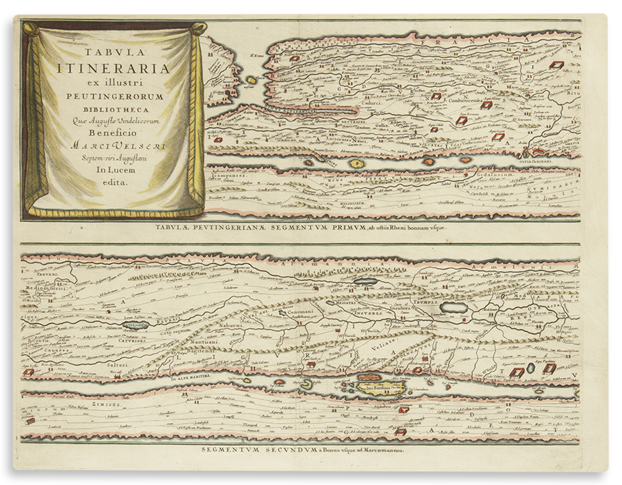
Ortelius, Abraham. Tabula Itineraria ex Illustri Peutingerorum Bibliotheca Quae Augustae Vindel. Eight segments composed on four separate sheets.
- Estimate
- $2,000–$3,000
- Hammer price
- $1,500
Historical auction record. Hammer prices exclude buyer’s premium and taxes.
author
(PEUTINGER MAP)
Place
Antwerp, first edition 1598 (or later)
Description
Hand-colored.
references
Laor 562.
summary
Tabula Peutingeriana ("The Peutinger Map") is an illustrated itinerarium showing the layout of the cursus publicus, i.e. the road network of the entire Roman Empire. Comprising four double-page unjoined mapsheets, it stretches from England’s South East all the way across Europe and North Africa to India. The Holy Land is displayed in the lower half of Segment VI.
Each 17 x 22 inches (43 x 56 cm) to mat. Each finely framed (uniform).
Enquire about this lot