
Auction 72 · Lot 277
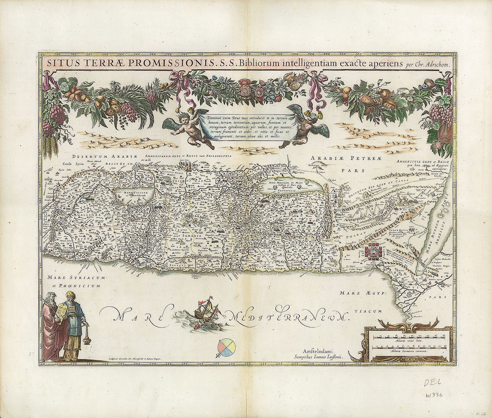
“Situs Terrae Promissionis S.S. Bibliorum intelligentiam exacte aperiens per Chr. Adrichom.” Hand-colored copperplate map, two sheets cojoined.
- Estimate
- $700–$1,000
- Hammer price
- Not recorded
Historical auction record. Hammer prices exclude buyer’s premium and taxes.
author
JANSSON, JAN.
Place
Amsterdam, first edition 1652 (or later)
references
See Laor 23; Nebenzahl 35.
summary
From: Jan Jansson. Accuratissima orbis antiqui delineatio. Amsterdam, 1652.
Starting in 1638, Jansson published under his own name this Holy Land map drawn after Christian van Adrichom. The map was first published in Adrichom’s Theatrum Terrae Sanctae in 1590.
Decorated with large floral and fruit garland draped across the top, two putti holding up a banner containing a Latin verse, figures of Moses with the Ten Commandments and Aaron in the lower left corner. The map shows the Holy Land divided into the twelve tribes, from Sidon to Alexandria.
19.5 x 25.5 inches.
Enquire about this lot