
Auction 72 · Lot 268
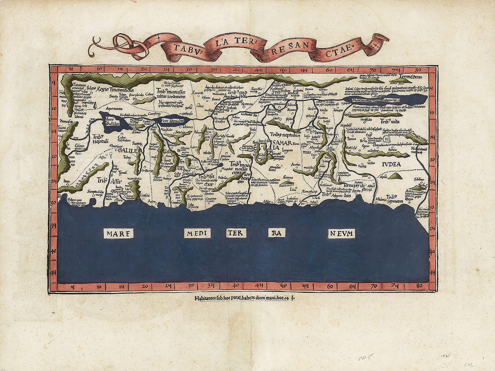
Tabula Terre Sanctae. Hand-colored double-page woodcut map by Lorenz Fries.
- Estimate
- $5,000–$7,000
- Hammer price
- $5,500
Historical auction record. Hammer prices exclude buyer’s premium and taxes.
author
(PTOLEMY).
Place
Lyon, Melchior and Gaspar Trechsel, 1535
references
Laor 612 (citing Servetus).
summary
From the 1535 Lyon edition of Ptolemy’s Geographia and printed from the 1522 woodblocks.
This “modern” map of the Holy Land - in contrast to the “old” Ptolemaic map - is based on the first “modern” depiction of the Holy Land by Vesconte-Sanuto in 1320. Oriented to the east with the Mediterranean shore line from Sidon to Gaza, this map depicts the whole of Palestine on both sides of the Jordan with the Biblical Twelve Tribe divisions.
15.75 x 21 inches.
Enquire about this lot