
Auction 69 · Lot 290
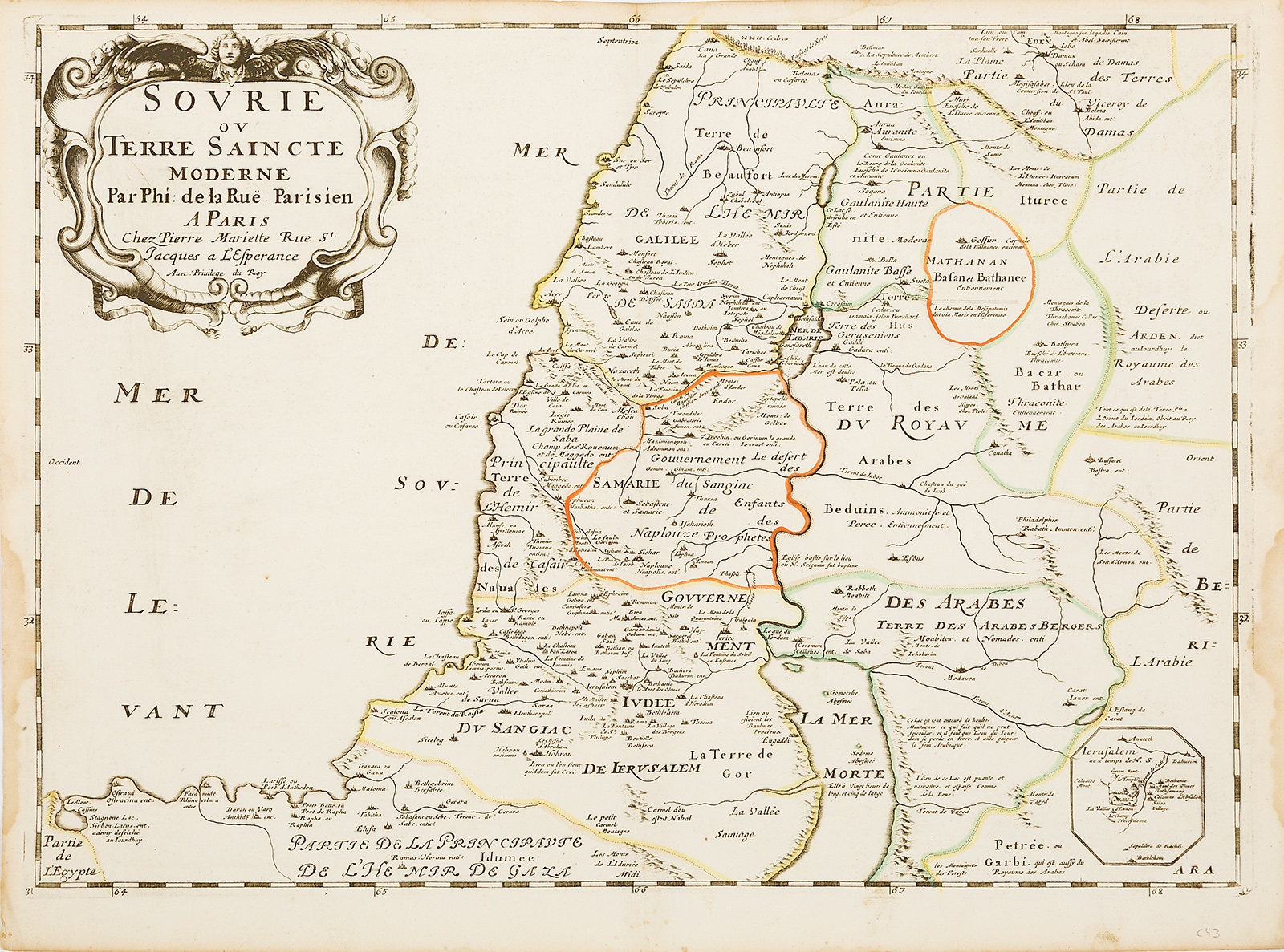
“Sourie ou Terre Saincte Moderne.” Hand-colored double-page copperplate map.
- Estimate
- $500–$700
- Hammer price
- Not recorded
Historical auction record. Hammer prices exclude buyer’s premium and taxes.
author
LA RUE, PHILIPPE DE.
Place
Paris, first edition 1651 (or later)
references
cf. Laor 420.
summary
Philippe de la Rue’s (1683-1761) modern map of the Holy Land, delineating the political division under the Ottoman Empire, extracted from his La Terre Saint en Six Cartes Geographiques (Paris, Pierre Mariette, 1651).
A small inset sketch of Jerusalem in lower right. Many cities and cites labeled in French, with additional information; for example, nearby to Hebron is “The place where Adam was created;” and alongside the Dead Sea is noted “twenty miles long and five wide.”
17 x 22.5 inches.
Enquire about this lot