
Auction 64 · Lot 276
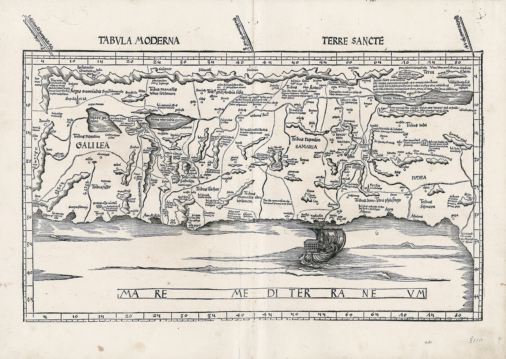
Tabula Moderna Terre Sancte. Double-page woodcut map.
- Estimate
- $5,000–$7,000
- Hammer price
- Not recorded
Historical auction record. Hammer prices exclude buyer’s premium and taxes.
author
PTOLEMY - WALDSEEMULLER.
Place
Strassburg(?), first edition 1513, (or later)
references
Laor 609.
summary
From: Claudius Ptolemaeus’s Geographia, with maps prepared by cartographer Martin Waldseemuller.
Oriented to the east, Waldseemuller’s modern map of Palestine after the versions by Vesconte and Sanuto (c. 1320) includes the twelve tribal divisions. The map is very similar to the modern Holy Land map first issued in the 1482 Ulm edition of Ptolemy’s Geographia, but includes the decorative element of a large ship inspired by Breydenbach. “The Carmel Mountain is drawn like a sturdy tree with two outstretched branches, the Lake of Merom, called Mare Galilee is out of size and the Dead Sea is shown as am elongated narrow lake.” (Laor).
17.875 x 24.75 inches.
Enquire about this lot