
Auction 64 · Lot 265
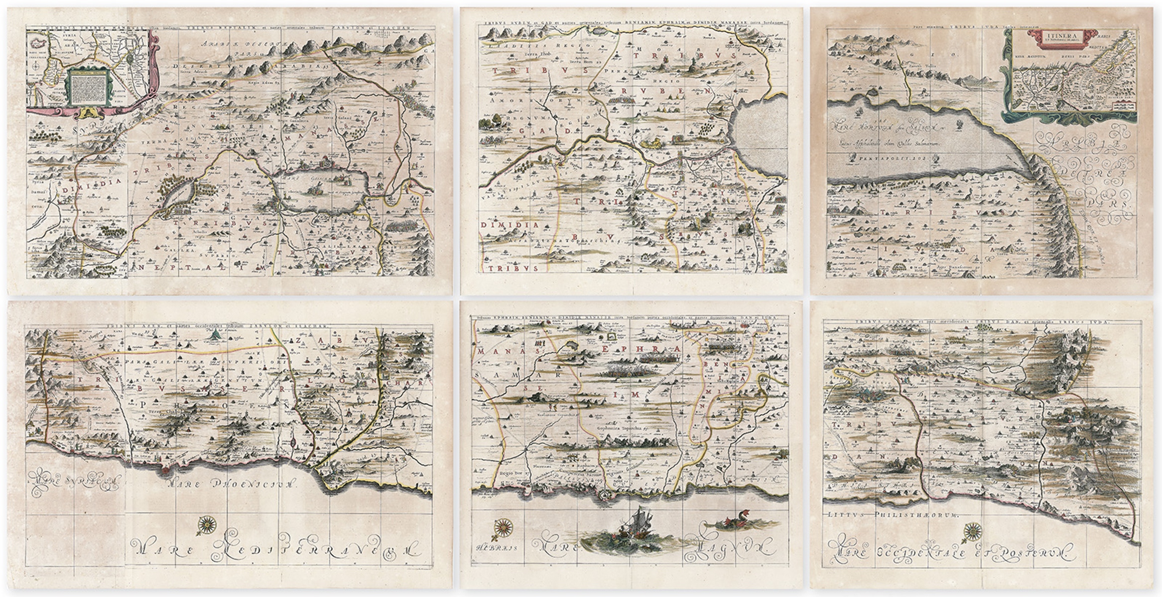
Palestine. Complete set of six individual hand-colored copperplate sheets which together comprise a map of the Holy Land.
- Estimate
- $5,000–$7,000
- Hammer price
- Not recorded
Historical auction record. Hammer prices exclude buyer’s premium and taxes.
author
JANSSON, JAN & GEORGE HORN.
Place
Amsterdam, (1658?)
references
Laor 343-49.
summary
A rare map of the Holy Land by Jansson and Horn, divided into six panels and oriented to the east, depicting the Holy Land from the southern tip of the Dead Sea and Edom to the Golan Heights (Gaulonitis) and modern day Lebanon. This map is an expansion and enlargement of the c. 1590 Adrichom example “Situs Terra Promissionis” illustrating the introductory text composed by George Horn for volume six of his Novus Atlas. Consequently some refer to this as the “Hornius Map.”
As a whole the map is embellished with countless vignettes and other images based on Old and New Testament narratives: The smoking ruins of Sodom and Gomorra appear in the Dead Sea, Jonah being devoured by the whale, and Jesus atop a mountain arguing with Satan. Each of the tribes of Israel are identified in their respective territories.
20.125 x 23.75 inches (four sheets); and 20.125 x 31.125 inches (two sheets).
Enquire about this lot