
Auction 64 · Lot 261
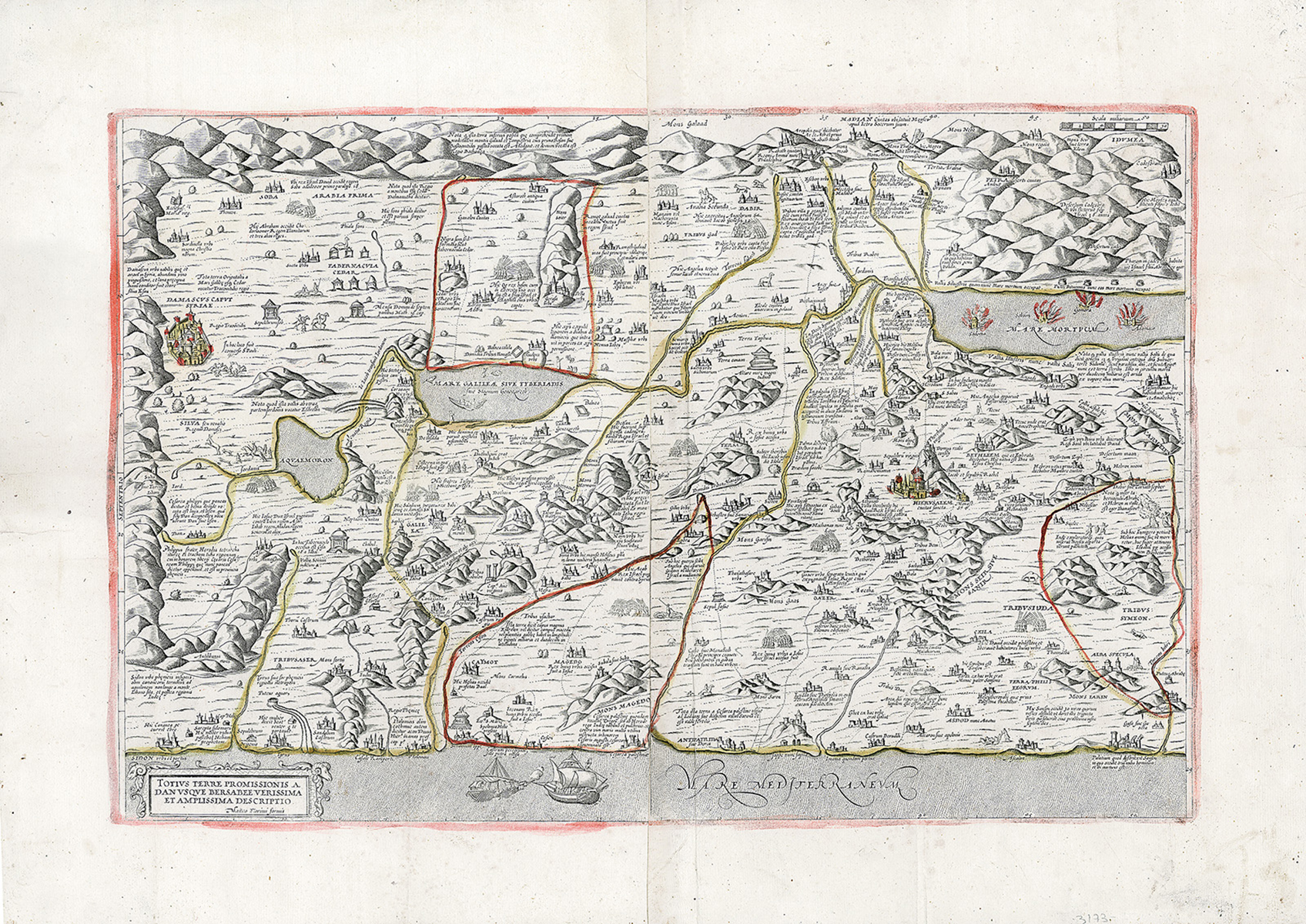
Totius Terre Promissionis A Dan usque Bersabee Verissima Et Amplissima Descriptio. Hand-colored copperplate map, two sheets cojoined.
- Estimate
- $3,000–$5,000
- Hammer price
- $6,500
Historical auction record. Hammer prices exclude buyer’s premium and taxes.
author
FLORIMI, MATTEO.
Place
(Siena?), c. 1581
references
Not in Laor.
summary
Rare and highly detailed map of the Holy Land first issued by Claudio Duchetti in Rome in 1572. Italian publisher and printer Matteo Florimi (1540-1615) was a prolific publisher of engravings, mostly of an allegorical or religious nature, as well as producer of maps. He employed artists of the calibre of Agostino Carracci, Cornelius Galle an d Pieter de Jode, he also commissioned drawings from Andrea Boscoli.
This is the largest and rarest of Florimi’s small output of maps. In addition to pictorial markers of cities, battles, burial places, churches and Roman baths, this map contains many illustrative points and scenes of interest based on Biblical and historical descriptions with Latin captions, such as: In the south: Two spies sent by Moses carrying grape clusters; Towards the north: Joseph placed in the pit by his brothers; In the east: The angel touching Jacob’s thigh.
Notable use of color in the of capital cities of Jerusalem and Damascus, and the burning ruins of thr four cities submerged in the dead sea.
22.5 x 31.25 inches.
Enquire about this lot