
Auction 64 · Lot 260
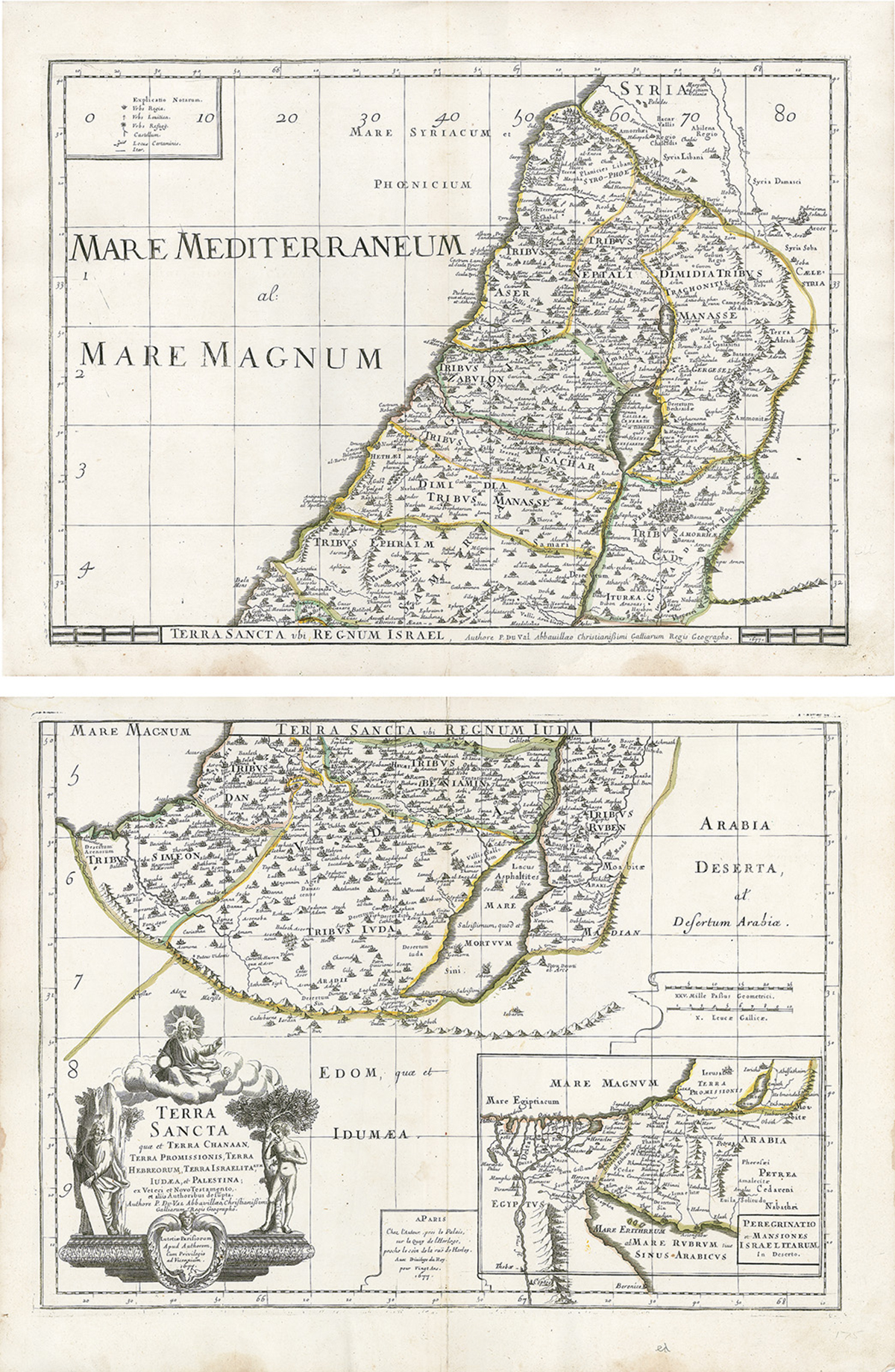
Terra Sancta quae et Terra Chanaan, Terra Promissionis, Terra Hebreorum, Terra Israelitarum, Iudaea, et Palestina. Hand-colored copperplate map, here in two separate sheets.
- Estimate
- $1,000–$1,500
- Hammer price
- $1,000
Historical auction record. Hammer prices exclude buyer’s premium and taxes.
author
DU VAL, PIERRE.
Place
Paris, 1677
references
Laor 261.
summary
A nephew of Nicholas Sanson, du Val (1618–83) was a leading French geographer and cartographer in the late 17th century. In his early years he focused on atlas production and later in life, separately published, multi-sheet maps such as our example.
This large-scale map of the Holy Land is printed on two sheets and divides the region into the Twelve Tribes of Israel. A large inset itinerarium in the southern sheet shows the Nile Delta, Sinai and Canaan with the Wandering of the Children of Israel, titled “Peregrinatio et Mansiones Israel Itarum, in Deserto.” The maps are filled with fine details including icons identifying royal cities, priestly cities, cities of refuge, fortresses and battle locations; and in the Dead Sea, one can see the blazing four cities in ruin. A large title cartouche in the lower left quadrant features Moses, Adam eating an apple in the Garden of Eden and God atop a cloud.
17.875 x 23.375 inches (each).
Enquire about this lot