
Auction 62 · Lot 228
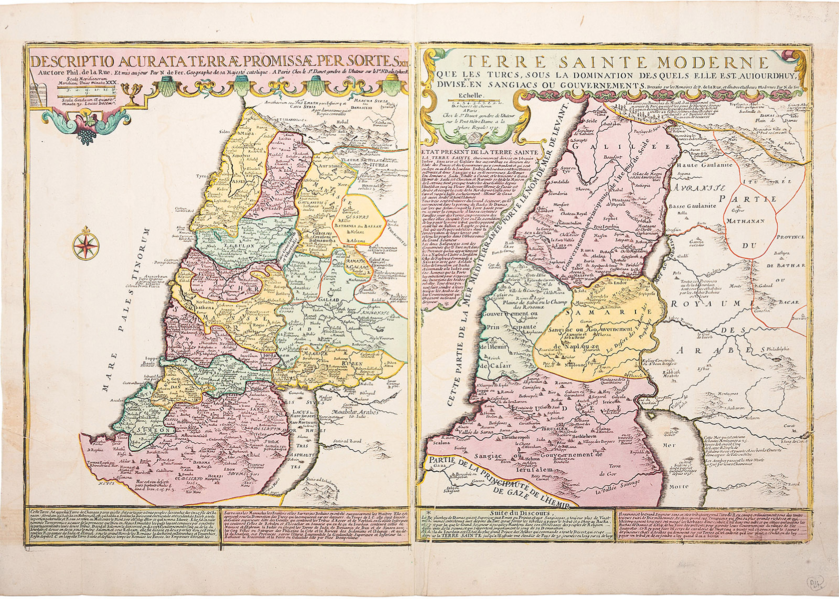
Two copperplate maps on two sheets cojoined, both hand-colored. “Descriptio acurata Terrae Promissae per sortes XII.” * AND: “Terre Sainte moderne que les Turcs, sous la domination des quels elle est auiourdhuy divisent en Sangiacs ou Gouvernements.”
- Estimate
- $800–$1,200
- Hammer price
- $750
Historical auction record. Hammer prices exclude buyer’s premium and taxes.
author
FER, NICHOLAS DE.
Place
Paris, Danet, 1720
summary
From: De Fer’s Atlas ou Recueuil de Cartes Geographiques, Paris, 1709-28.
This rare pair of maps issued together offers a fascinating comparison of the Holy Land in ancient and modern times. The left historical map is divided according to the settlement of the Twelve Tribes. The map on the right depicts the same region in the early 18th century, divided into provinces now under Turkish rule.
In addition to labeled features, this map also contains a number of notations, particularly around the Dead Sea and the Mediterranean that describes the geography and politics of the region. Decorative title cartouches at the top of each map feature finely detailed scrollwork. In addition, descriptive text in French also runs along the bottom of both maps.
Nicolas de Fer (1646-1720) was a prolific cartographer, engraver and publisher who took over the family map business from his mother when she retired in 1687. The business flourished and de Fer was appointed Geographer to the King in 1690. This map demonstrates his skill and provides an alluring mix of history and geography.
21 x 29.75 inches.
Enquire about this lot