
Auction 43 · Lot 309
Hand-colored in brilliant hues.
- Estimate
- $2,500–$3,000
- Hammer price
- $2,500
Historical auction record. Hammer prices exclude buyer’s premium and taxes.
author
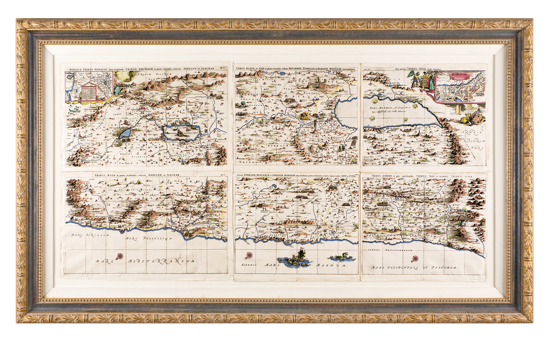
MAP OF HOLY LAND by Dapper, Olfert.
Place
Amsterdam, 1677.
Description
Mounted in handsome ornate frame
references
Laor 233-238
summary
The map has been joined together from six pages (pp. 30-32, 35, 39) of Part II of Dapper's Naukerige beschrijving van gantsch Syria en Palestyn (Amsterdam: Jacob van Meurs, 1677). Orienting to the east, the map divides the Land according to the Twelve Tribes of Israel. The coastline runs from Sidon in the north to Rhinocorus in the south. Two cartouches: At top left, The Peregrinations of Abraham, and at top right, The Itinerary and Encampments in the Desert. At bottom, in the Mediterranean we see a seafaring vessel and also a fanciful sea monster. In the Dead Sea (at top right), there are indicated the smoldering ruins of the four Biblical cities of Sodom and Gomorra, Adama and Seboim.
25 x 48 inches.
Enquire about this lot