
Auction 40 · Lot 295
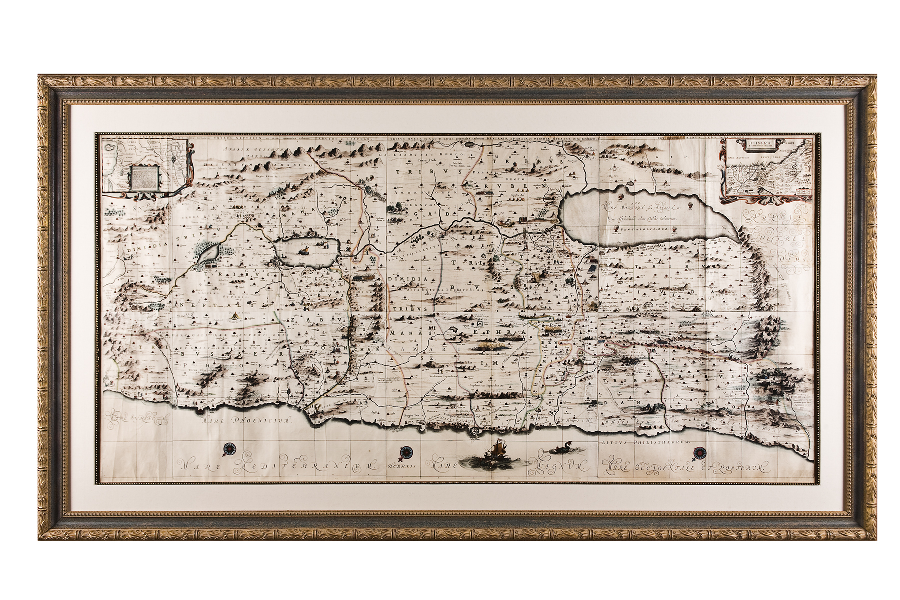
From Janssonius, Jan. Novus Atlas (Amsterdam, 1658),Vol. VI. Six sheets. Hand-colored in sharp, distinct hues
- Estimate
- $7,000–$9,000
- Hammer price
- Not recorded
Historical auction record. Hammer prices exclude buyer’s premium and taxes.
author
(MAP OF THE HOLY LAND).
Description
Not examined out of frame
references
Laor 343-49
summary
This exceptionally large, impressive complete map of the Holy Land orients to the east, showing the divisions of the Twelve Tribes of Israel on both sides of the River Jordan. The coastline runs from Sidon, Lebanon at left, to Rhinocorura, Egypt at right. Offshore, not far from the port of Jaffa, one spies a ship holding Jonah about to be cast into the jaws of the whale. There are two cartouches: The one at top left contains the Wanderings of Abraham ("Peregrinatio Abrahae"); the other at top right, the Journies and Mansions of the Desert ("Itinera et Mansiones Deserti"), i.e. the wanderings of the Israelites in the Sinai Wilderness
33 1/2 x 70 inches
Enquire about this lot