
Auction 37 · Lot 112
Maps of Robinson's Researches in Palestine
- Estimate
- $300–$500
- Hammer price
- $350
Historical auction record. Hammer prices exclude buyer’s premium and taxes.
author
(ISRAEL, LAND OF)
printer
Crocker and Brewster
Place
Boston
Publication
1856
Description
Four fold-out colored maps. Drawn by Heinrich Kiepert
summary
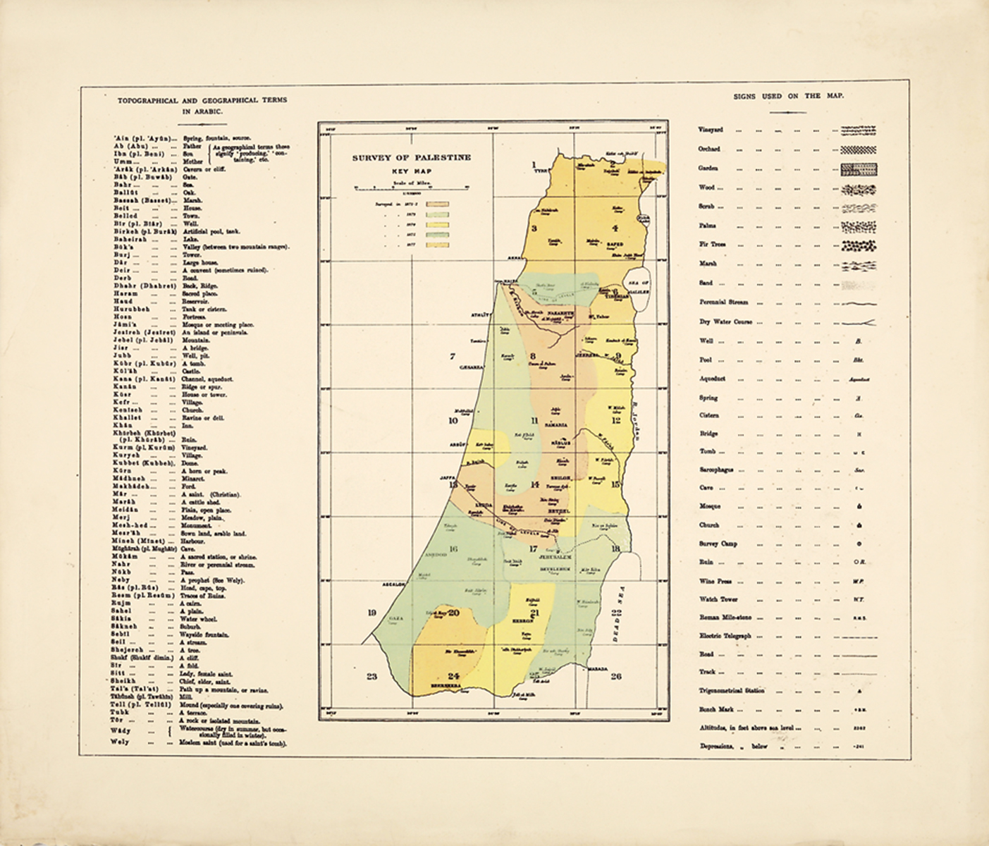
Produced as a companion volume to Robinson and Smith's text Biblical Researches in Palestine, this volume contains four maps with clear depictions of "the Peninsula of Mount Sinai and Arabia Petraea;" "The Environs of Jerusalem;" "Southern Palestine;" and "Northern Palestine and Lebanon." The travels of Robinson and Smith are outlined in blue and red
Slight wear, with tears on the folds. Maps fold into original boards. Loose in binding. Ex-library
Enquire about this lot