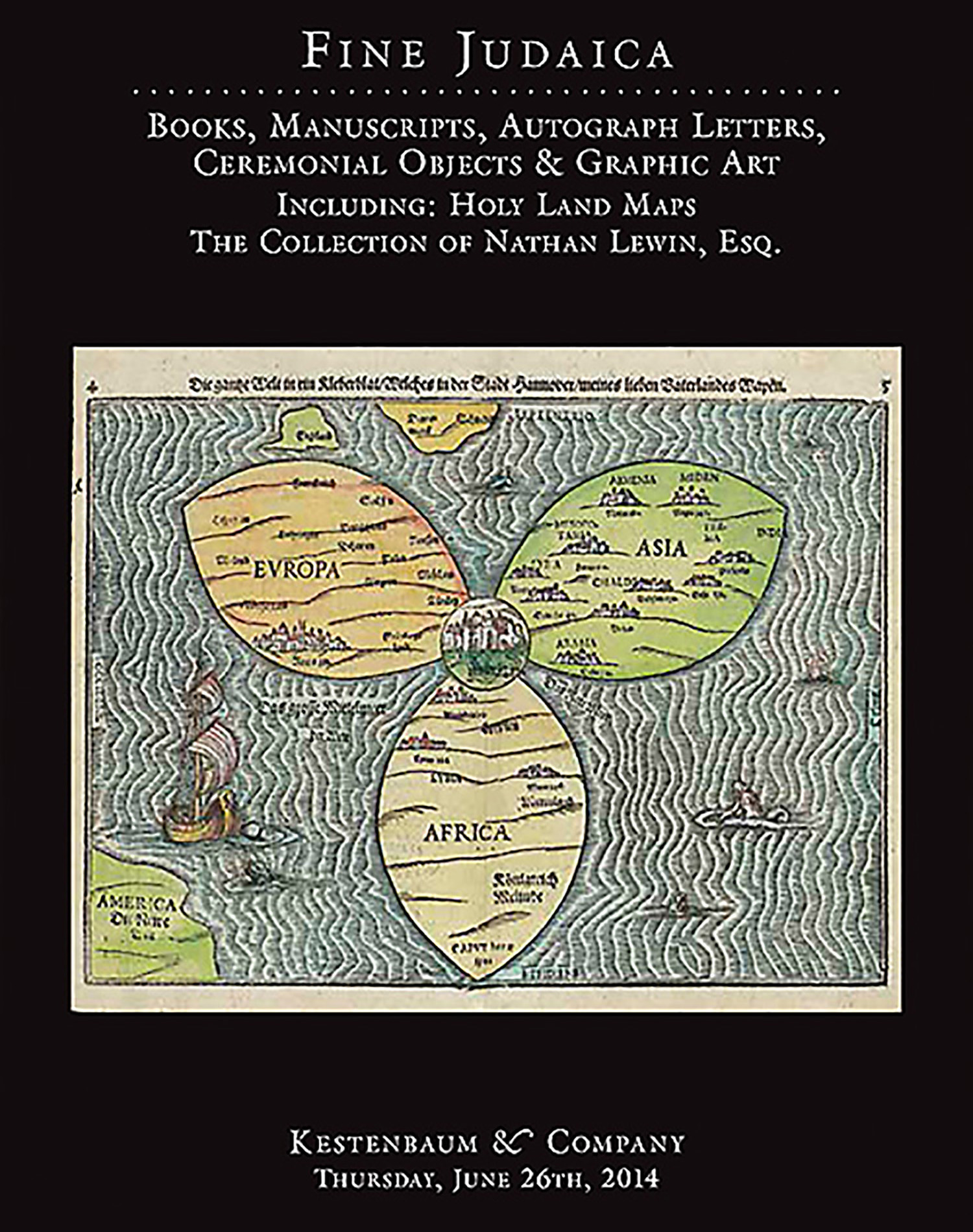
Tabula Moderna Terre Sancte. Double-page hand-colored woodcut map, prepared by Martin Waldseemueller.

AUCTION 62 |
Thursday, June 26th,
2014 at 1:00
Fine Judaica: Books, Manuscripts, Autograph Letters, Graphic and Ceremonial Art
Lot 248
PTOLEMY.
Tabula Moderna Terre Sancte. Double-page hand-colored woodcut map, prepared by Martin Waldseemueller.
Strassbourg, 1520(?):
Est: $6,000 - $9,000
PRICE REALIZED $8,000
From: Ptolemaeus, Geographia, Strassburg, Johannes Schott, 1520.
“Oriented to the East, shows the whole of Palestine on both sides of the Jordan divided into the Twelve Tribes. The shore line runs from Sidon to Gaza. Off shore from Jaffa is a representation of a vessel which is copied from Breydenbach. The Carmel Mountain is drawn like a sturdy tree with two outstretched branches. The Lake of Meron, called Mare Galilee, is out of size, and the Dead Sea is shown as an elongated narrow lake. The Jordan River in its wide meanderings is shown as a thin line.” Laor 609.
With Latin manuscript notes in an early hand along margins relating to the Book of Joshua and the tribal division of the Holy Land, including the verse: “Every place that the sole of your foot shall tread upon have I given unto you, as I said unto Moses. From the wilderness and this Lebanon, even unto the great river, the river Euphrates, all the land of the Hittites and unto the great sea toward the going down of the sun, shall be your coast.” (Deut. XI, 24).
