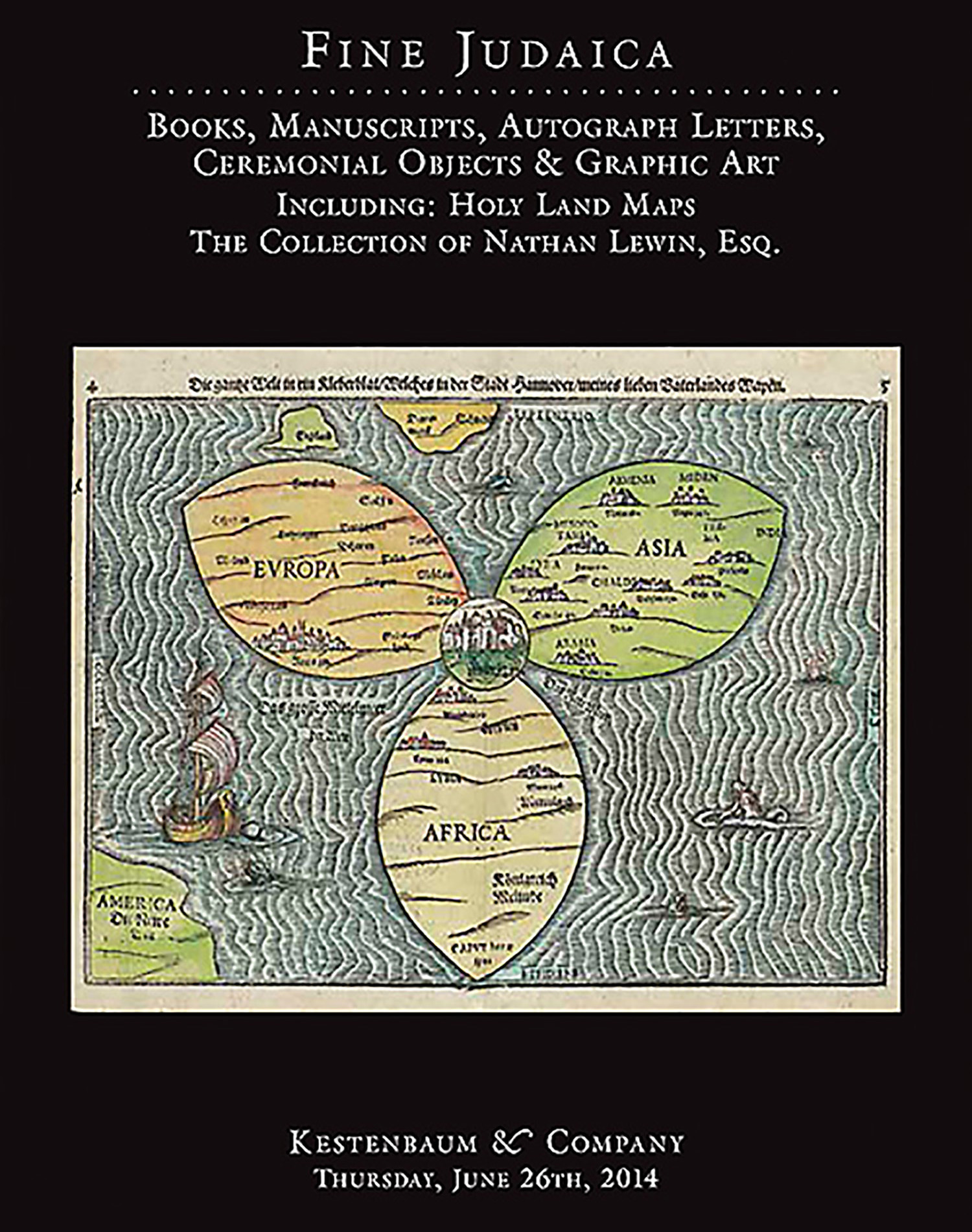
“A Map of Canaan with the Adjacent Countrie’s, Very Usefull for the Understanding of the Old Testament.” Hand-colored copperplate map and itinerarium.

AUCTION 62 |
Thursday, June 26th,
2014 at 1:00
Fine Judaica: Books, Manuscripts, Autograph Letters, Graphic and Ceremonial Art
Lot 240
LEA, PHILIP.
“A Map of Canaan with the Adjacent Countrie’s, Very Usefull for the Understanding of the Old Testament.” Hand-colored copperplate map and itinerarium.
London, 1692:
Est: $1,200 - $1,500
PRICE REALIZED $1,750
Scarce map of the region of the Bible Lands, spanning from Rome to Persia and south to Egypt. The Arabian Peninsula is greatly distorted. The map is replete with region- and place-names along with the route of the encampments of the Jews in the wilderness - all graphically presented.
