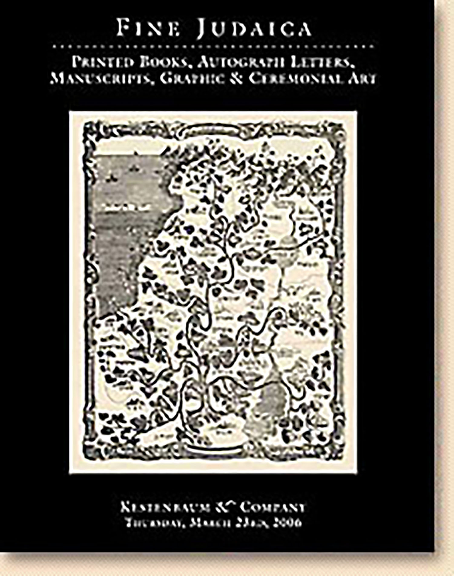
Tzurath ha-Aretz ha-Kedoshah…’im kol ha-achuzoth ve-ha-koloniyoth asher hithyashvu bahen ha-Yehudim / Geographisch-Topographische Darstellung Palästinas mit…aller jüdischen Colonien [Map of the Holy Land…with all the Jewish agricultural colonies]
AUCTION 32 |
Thursday, March 23rd,
2006 at 1:00
Fine Judaica: Printed Books, Autographed Letters, Manuscripts, Graphics and Ceremonial Art
Lot 311
(ISRAEL, LAND OF)
Tzurath ha-Aretz ha-Kedoshah…’im kol ha-achuzoth ve-ha-koloniyoth asher hithyashvu bahen ha-Yehudim / Geographisch-Topographische Darstellung Palästinas mit…aller jüdischen Colonien [Map of the Holy Land…with all the Jewish agricultural colonies]
Germany? End 19th Century:
Est: $2,000 - $3,000
This somewhat fanciful map, beautifully portrayed in multicolor, makes a point of providing not only the ancient cites of Biblical and Talmudic fame, but also the many agricultural settlements that blossomed throughout the Land at the end of the nineteenth century. Thus, the map clearly projects the goal of Zionism, namely the settling of Eretz Israel.
Rare. Unknown to E. & G. Wajntraub, Hebrew Maps of the Holy Land (1992)