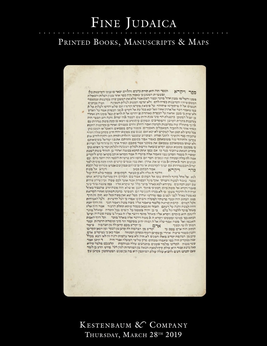
Be’er Haluchoth.

AUCTION 80 |
Thursday, March 28th,
2019 at 1:00 PM
The Valmadonna Trust Library: Further Selections from the Historic Collection. * Hebrew Printing in America. * Graphic & Ceremonial Art
Lot 167
AUSPITZ, JACOB
Be’er Haluchoth.
Ofen, Royal Hungarian University Press, 1817:
Est: $4,000 - $6,000
PRICE REALIZED $3,000
<<The first Hebrew Atlas.>> The maps represent: The dispersion of the sons of Noah and spread of mankind across Asia, Africa and Europe; the encampment of the Hebrew tribes in the desert surrounding the Tabernacle; and a schematic map of the Land of Israel showing the Tribal division of the country between the Jordan and Mediterranean.
This first edition proved immediately popular, so that a second edition appeared in Vienna only a year later. See E. & G. Wajntraub, Hebrew Maps of the Holy Land (1992) pp. 129-37 and JE, Vol. II p. 317.
