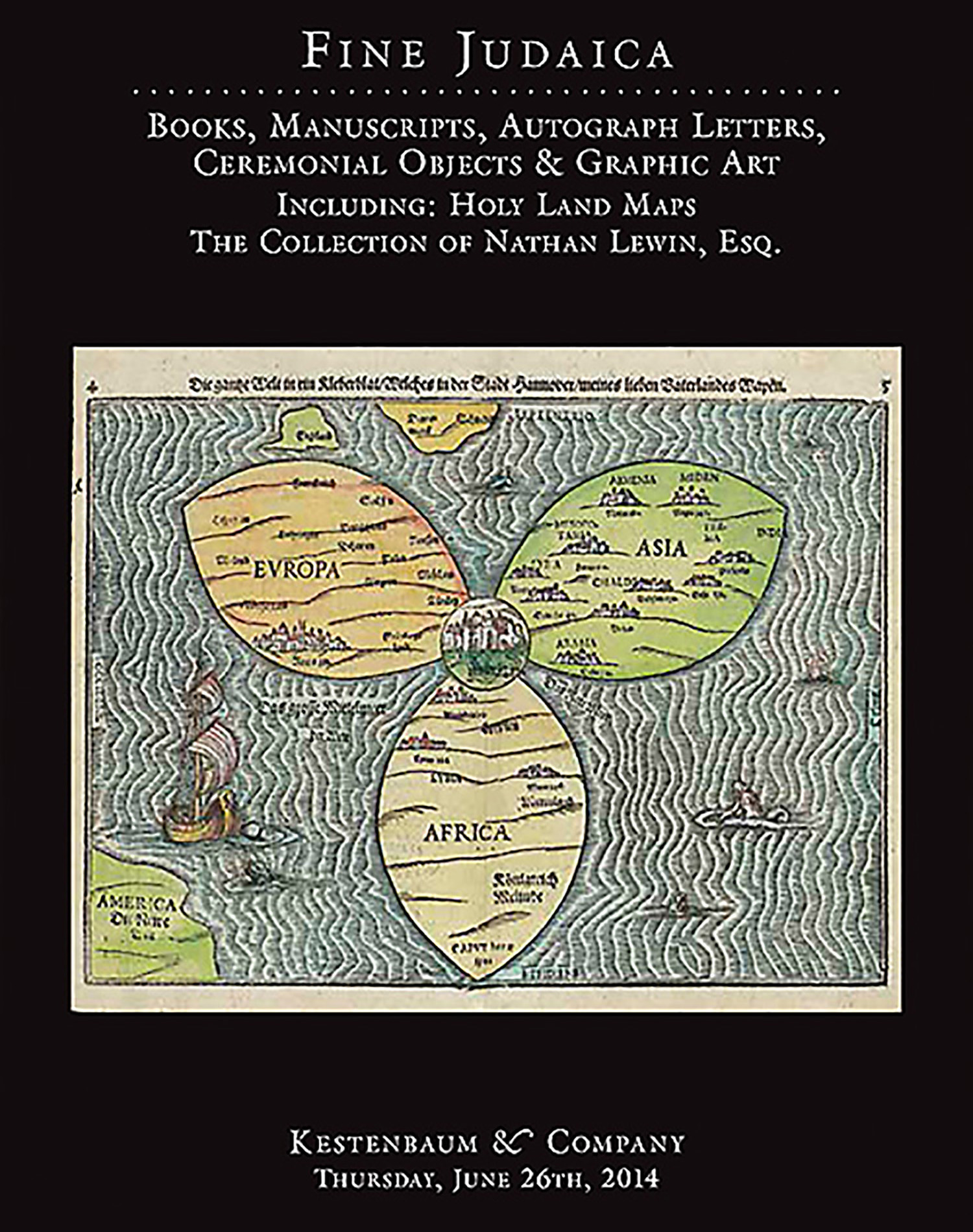
[Tabula Moderna Terre Sancte.] Double-page, hand-colored woodcut map.

AUCTION 62 |
Thursday, June 26th,
2014 at 1:00
Fine Judaica: Books, Manuscripts, Autograph Letters, Graphic and Ceremonial Art
Lot 247
PTOLEMY.
[Tabula Moderna Terre Sancte.] Double-page, hand-colored woodcut map.
Ulm, 1482:
Est: $10,000 - $15,000
PRICE REALIZED $19,000
From: Ptolemaeus, Cosmographia. Edited by Nicolaus Germanus Donis. Ulm, Leonardus Holle, 1482. Like all the modern maps of Palestine that were added to the early printed editions of Ptolemy, this was taken from Petrus Vesconte, produced by Marino Sanuto, c. 1320.
An important and rare map of Palestine from an early German edition of Ptolemy’s Geography. “Oriented to the East, shows the whole of Palestine on both sides of the Jordan divided into the Twelve Tribes. The shore line runs from Sidon to Gaza. South of a fantasy Carmel Mountain there is a big island, called the Castle of the Pilgrims (Atlit of today), and a similar but smaller island, north of Jaffa called Assur. The Carmel Mountain is misshapen. The Jordan River in its wide meanderings is shown as a thin line.” Laor 603.
<<A highly collectible map, here in fine condition with striking coloring.>>
